

Canvey Island
Canvey Island
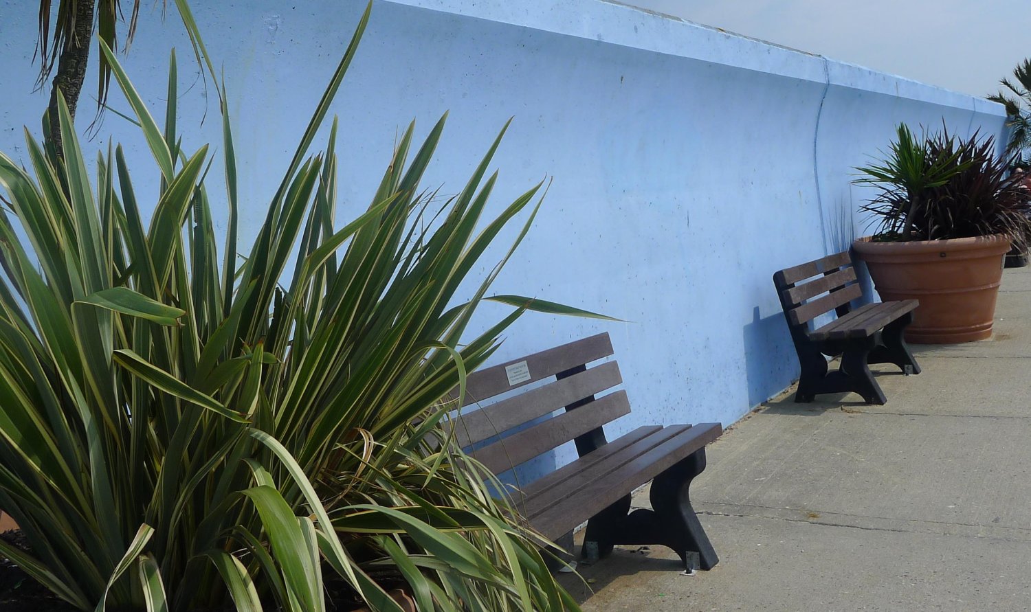
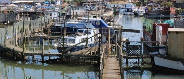
Canvey Island is located on the north shore of the Thames Estuary, in Essex. Separated from the mainland by tidal creeks, it has a population of 40,000 and is the largest town in the Borough of Castle Point. The island has pockets of local deprivation with some wards among the most deprived in the country, exhibiting poor levels of educational attainment, low income and high health deprivation.
A reclaimed wetland, the 18km2 island sits around 1m below high tide sea level, making it vulnerable to flooding from both sea and surface water. Devastated by the 1953 North Sea Flood which inundated the island and killed 53 inhabitants, the island is currently protected from tidal surges by its 7m high sea wall. However, with rising sea levels and increased storms due to climate change, these defences have been identified in the TEAM2100 programme as an area where improvement works need to be made. The Environment Agency is due to begin this upgrade in Summer 2022.


Issues & Objectives
Canvey has suffered extensive surface water flooding in recent years, with particularly damaging events occurring in 2014 and 2017. Following the 2017 flood in which 1,000 houses on the island were engulfed, a multi-agency partnership (MAP) was set-up and has been working collaboratively on a strategy to better protect Canvey against future surface water flood events, with the aim of providing long term security for residents and businesses across the island.
The BRIC project will work to better connect Canvey residents with the MAP, encouraging participatory decision-making and citizen empowerment. Through training and community mapping we’ll support residents to better understand and respond to their flood risk, becoming local flood resilience ambassadors, and working with authorities to increase the resilience of their homes and communities to surface water flooding and sea-level rise.
Pilot site activities & outputs
- Working with local people to map flood issues and potential solutions
- Building a network of local stakeholders, including residents, community groups, businesses, land owners, governments and technical agencies and institutions.
- Working with this network to co-create flood resilience responses and practical solutions for Canvey Island, including community-led Sustainable Drainage Solutions (SuDs), flood risk awareness technology .
- Running practical engagement events to develop skills and understanding of flood risk management.


- Gathering flood narratives for in-depth, localised
- Developing and delivering a new course “Leading Action for Local Flood Resilience” based on community priorities as part of Thames21’s accredited waterways training programme to increase flood risk awareness, improve mental health support and provide practical flood response skills.
- Co-creating a Canvey Island flood resilience story map and community hub to support engagement, outreach and local flood response organising.
Building Resilience in Communities Project (BRIC)
BRIC is an exciting 2-year, €3.4m project which has secured 70% European Regional Development Fund (ERDF) funding from the Interreg France-Channel-England programme. Rather than being an environmental project, it is addressing the issue of flood management from a social innovation perspective.

